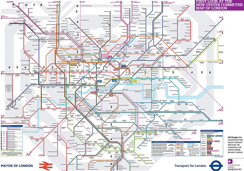
I am looking for an easiest way to create schemas of public transport like this one:
Ideal way how would I'd like to create a schema:
- Put stations/stops on target point (ideally some grid-like system, so they are all in same distance or multiples of that distance)
- Connect stops with coloured lines (marking all lines going between these stops)
- Add text as name of stop
- Add text marking end of an line
- All stuff related to one line is in same colour
Nice-to-have features:
- Hovering over one line or number highlights whole line
- Zoomable / scrollable (similar to Google Maps)
- file can be saved in a format i can open and edit later in same software
Of course I could create it in Windows paint or something similar, but that would be very painful.
Oh, and also:
- Price - ideally free
- platform - Windows or Linux

