Context
While doing tourism, I use the Wikimedia Commons app to send pictures of monuments to Commons (a repository of free media).
Most minor monuments are not on Commons, but the Eiffel Tower has already 1000s of pictures, and my smartphone's camera is not going to produce a better one.
So, I would like to check what pictures of the area are already on Commons.
FYI: Example of a picture with geolocation attributes on Commons.
Question
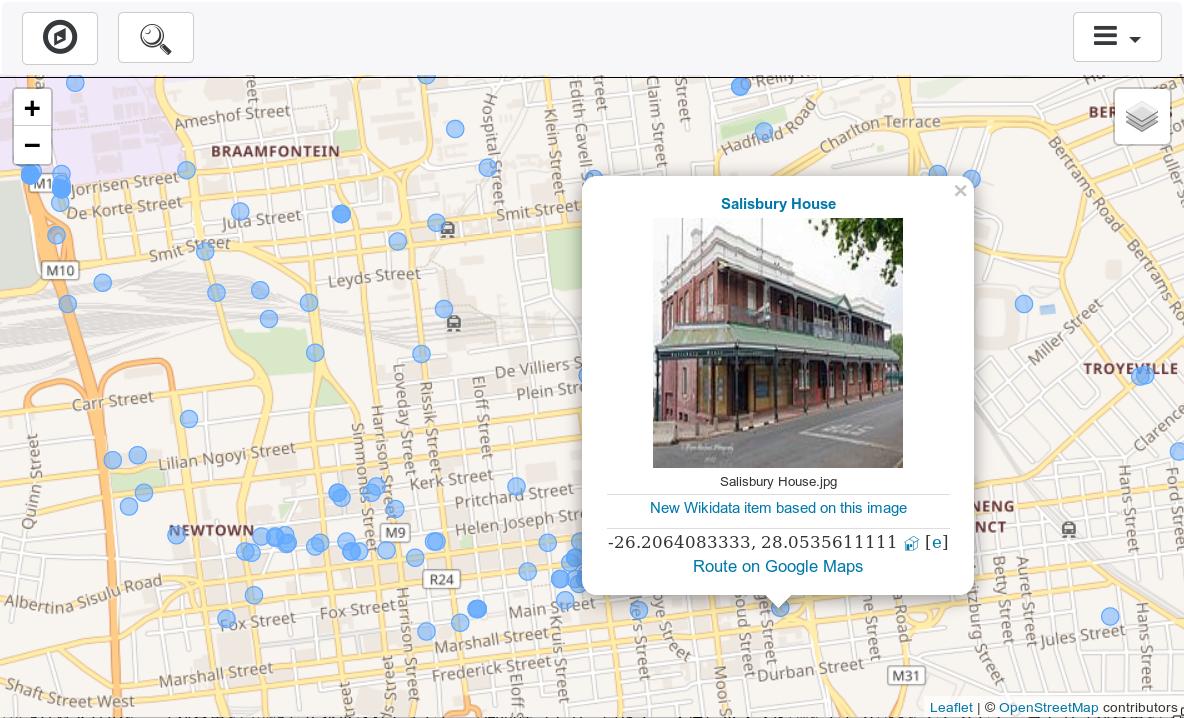
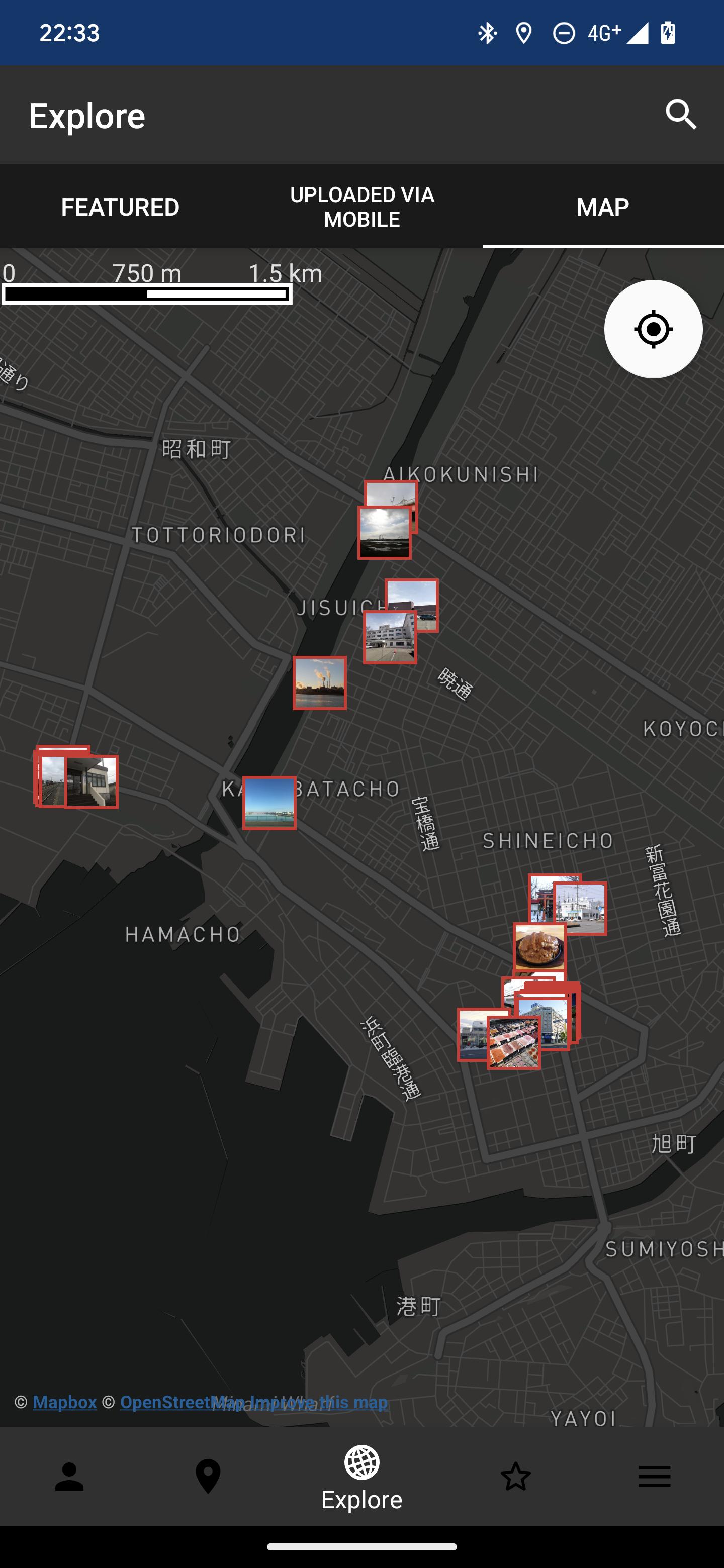
Is there an app or website that shows Wikimedia Commons pictures on a map?
I am NOT talking about Wikipedia articles. I am talking about Wikimedia Commons pictures.
Requirements:
- Show all pictures that have geolocation attributes on Commons.
- Preferably thumbnails on a map, but a list sorted by proximity is OK too.
- Free, ideally Open Source.
Bonus:
- Center to my current position.
- Search a location. For instance searching for "Leesburg" will center the map on Leesburg.
- In addition to pictures that have geolocation attributes, also show pictures that have no such attributes but have a geographical category, for instance pictures in the category [[VillageTownA]] should be shown at the location of VillageTownA if they have no individual geolocation.
- Sensible zoom, depending on the number of nearby pictures. Zoom should not be the same in the middle of the Sahara desert and in Manhattan.
- Click on thumbnail to view picture full-screen.
- Reasonably low bandwidth usage.
An acceptable solution could be to transform the coordinates of all Commons pictures (SQL file, 200MB) to .osm with each point having an URL to the image.


